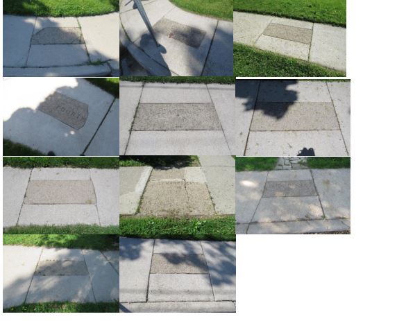
The former Town of Walkerville was a company town developed by town founder Hiram Walker and his associates (and sons). The first phase of development was limited to the area between Detroit River, Walker Road, Wyandotte Street and Kildare road. The streets were laid out in grid pattern and industries on the north along Sandwich Street (now Riverside Drive) and on the east along Walker Road, were separated from commercial residential districts to the south and west. By 1879, the first major subdivision plans for Walkerville showed five north-south streets, five east-west streets including First (Kildare), Second (Devonshire), Third (Argyle), Fourth (Monmouth) and Fifth (Walker); and five east-west streets - Sandwich (Riverside), Assumption, Brant, Wyandotte and Tuscarora. Some of the sidewalk slabs are still engraved with the former numerical names of the street, which pay homage to former towns’ street names.
Heritage Register clarifications will assist City Engineering staff with early recognition of these heritage features and identification of solutions to necessary repairs or replacement to maintain and conserve these heritage features should sidewalk operations arise.